Santa Rosa island
Ultimate guide (December 2025)
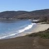
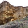
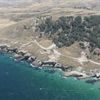
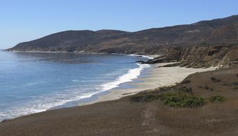
Santa Rosa - is the second largest of Channel Islands National Park. Hiking, kayaking and beach activities are available on the island. Shore and seabed: stones, sand. [edit]
Coordinates: 33.966958, -120.102545
See also: Channel Islands
Hotels [edit]
There is a campsite on the island, but it is often closed. Check the information at the site of the National Park before the trip.
How to get there [edit]
Fly to Los Angeles airport. There is Island Packers ferry service between the mainland and islands. In addition Santa Rosa island can be reached by plane of Channel Islands Aviation.
When to go [edit]
Santa Rosa Island can be visited all year round, but the best in the summer half of year.Rainfall, mm

Water temperature, C

Temperature, C

Humidity, %

Wind speed, meter/sec


